In brief
A recent drone‑captured video released by the BBC maps out the devastating impact of the wildfires that tore through Spokane, Washington, and nearby areas this August. The fires burned roughly 10,000 acres, destroying over 900 homes and prompting the evacuation of more than 64,000 residents under strong wind conditions. Despite the scale of damage, no serious injuries or fatalities have been reported in the city. The blaze has become the highest firefighting priority in the United States amid widespread drought across the Pacific Northwest.
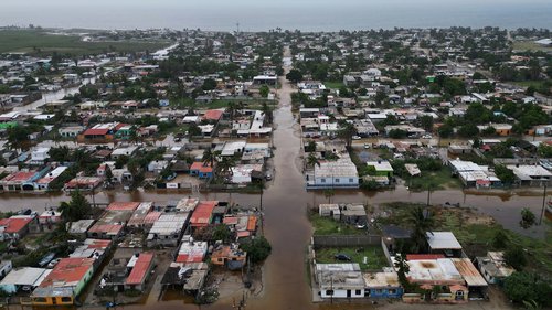
BBC‑drone footage released this week offers a stark view of the roaring wildfire that scorched Spokane, Washington, and its surrounding environs, mapping the ruin that followed each once‑lively home.
Aerial shots for the first time reveal the dry, wind‑spewed blaze that ultimately burned close to 10,000 acres. Over 900 residences were consumed, whether by the heat or the sprinting waves of embers. In addition, the fire forced the evacuation of more than 64,000 residents as officials had to quell the furious spread under relentless winds.
Despite the tragic scenery, the city’s emergency teams reported no serious injuries or deaths—a relief amid a major national firefighting crisis that has seen countless fires erupt across the Pacific Northwest in early August. Over 90 federal, state, and local crews are now focusing fire‑fighting efforts on the region’s most threatened fronts, as the wildfires have become the highest priority for U.S. emergency services.
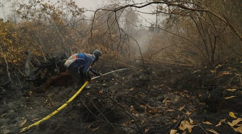
The footage also shows the staircase of ash and blackened trunks that now stretches through dense forests, a grim marker of the fire’s reach. Broad, wind‑whipped flames have left breadcrumb trails of scorched bark that are still visible from the drone’s high, sweeping path.
Residents who were forced to leave their homes can only hope for quick restoration of infrastructure and safe rebuilding once the fire‑fighting front advances. As investigators map the damage and plan for evacuation and rebuilding, communities around Spokane and the Far West corner of Washington stay on alert, watching for any sign that the wildfires might flare again amid ongoing dry conditions.