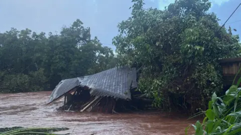
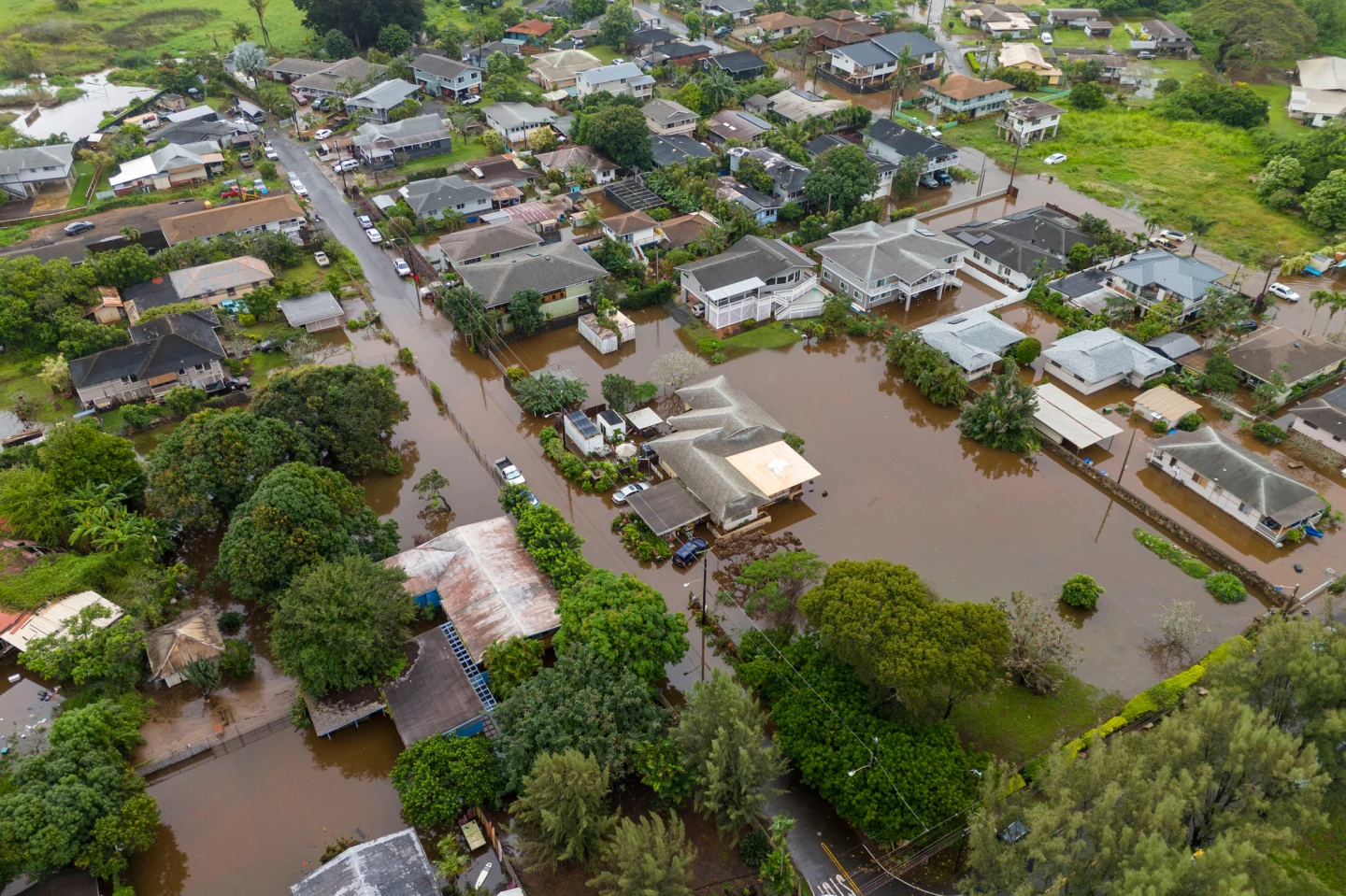
Hurricane Erin has reached a Category 4 status and is threatening the US East Coast with perilous surf and rip currents. The storm's impact is already being felt in the southeastern Bahamas and the Turks and Caicos Islands, where a tropical storm warning is currently in effect. While Erin is not projected to make direct landfall, residents of these islands can expect significant rainfall, potentially up to six inches (15.2 cm).
This storm, the first hurricane of the 2025 Atlantic season, underwent explosive intensification on Saturday, briefly peaking as a Category 5 hurricane before regaining strength. In Puerto Rico, over 150,000 residents were left without power due to powerful winds wreaking havoc on electricity lines. However, local energy provider Luma has reported that 95% of its customers regained power by Sunday evening after emergency repairs were undertaken.
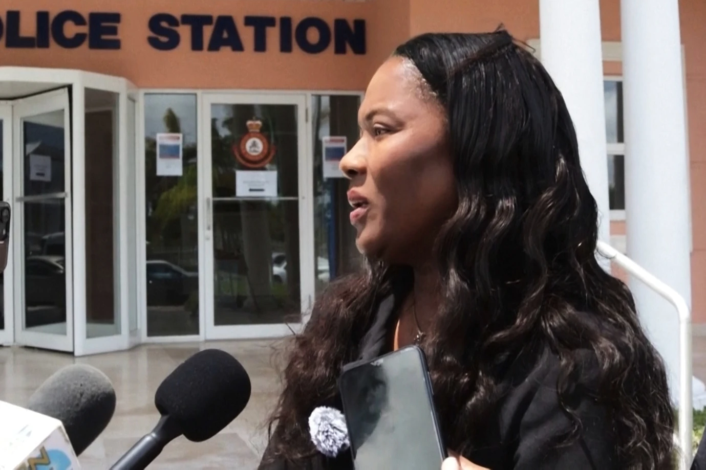
The outer bands of Hurricane Erin have started impacting the Bahamas, prompting local officials to advise residents to prepare for emergencies. Aarone Sargent, managing director of the Bahamas' Disaster Risk Management Authority, emphasized the necessity of knowing the locations of shelters, as conditions can shift unexpectedly.
The National Hurricane Center (NHC) indicates that Erin is expected to navigate east of the southeastern Bahamas and progress towards Bermuda and the eastern US coastline by midweek. Authorities in North Carolina's Outer Banks are already preparing for significant surf and high winds, with Hatteras Island under a mandatory evacuation due to fears that key transportation routes could become unusable.
Forecasters are additionally warning about dangerous rip tides potentially threatening the entire East Coast of the United States, highlighting the storm's far-reaching effects.