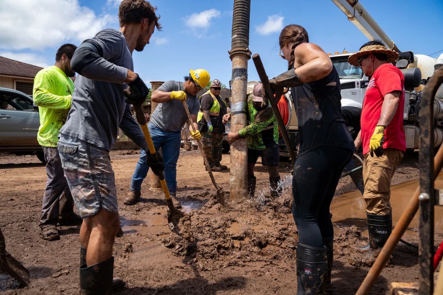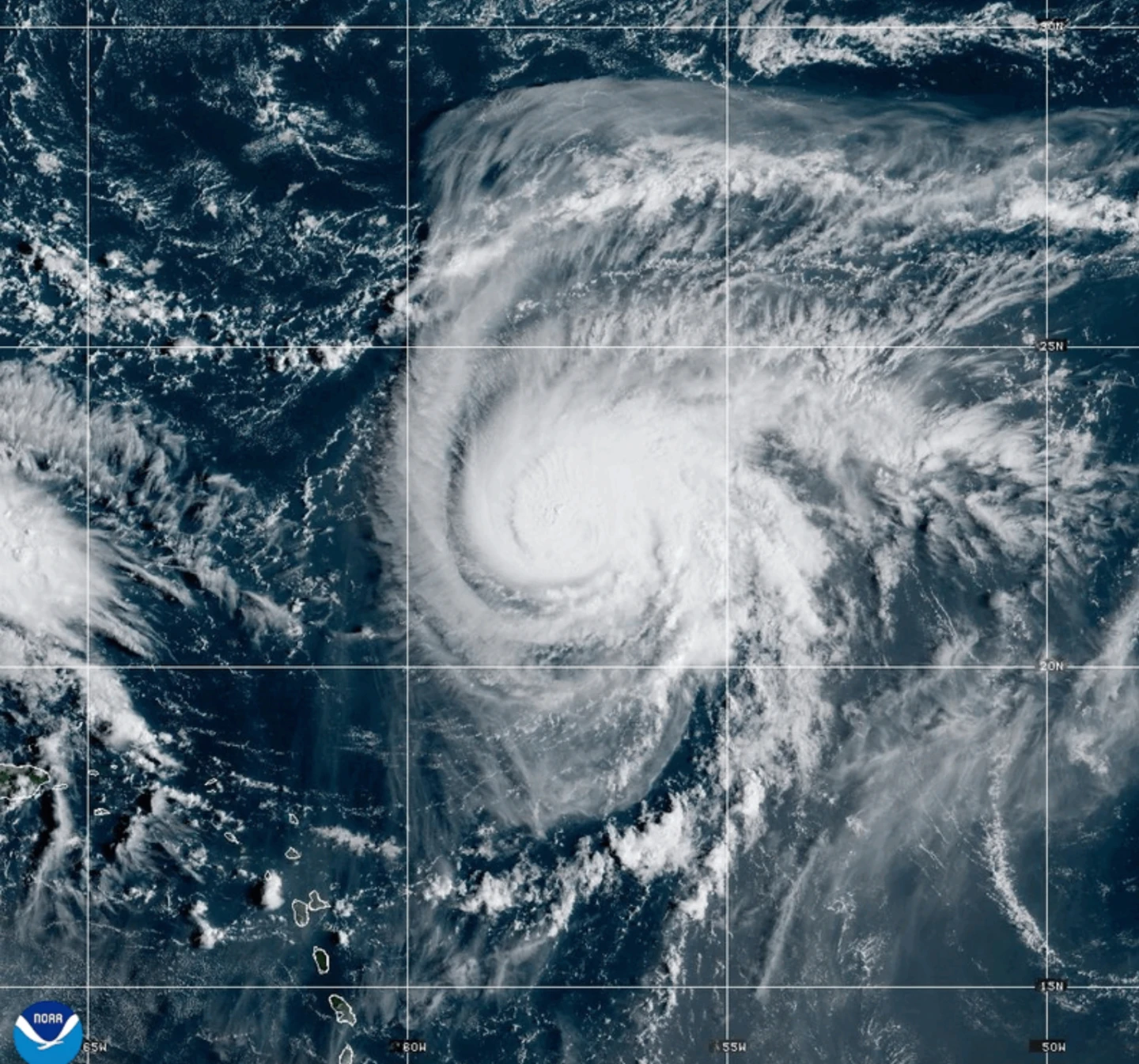
MIAMI (AP) — Dangerous tropical weather brewed Saturday in the Atlantic Ocean with Humberto intensifying into a powerful Category 4 hurricane and a weather system taking aim at the Southeast U.S. Hurricane Humberto had maximum sustained winds of 145 mph (230 kph) Saturday, according to the Miami-based National Hurricane Center. The storm was located about 375 miles (605 kilometers) northeast of the northern Leeward Islands, moving west at 6 mph (9 kph). Forecasters have warned of life-threatening surf and rip currents for the northern Leeward Islands, the Virgin Islands, Puerto Rico and Bermuda over the weekend.
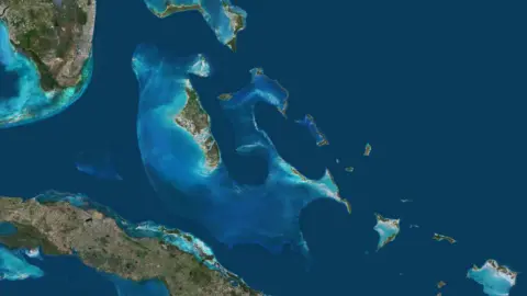
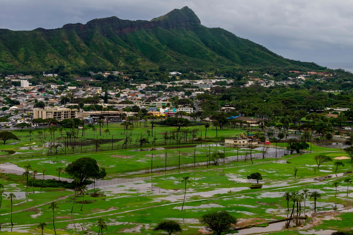
Meanwhile, another weather system is likely to develop into a tropical storm, threatening the Bahamas and Cuba with heavy rainfall and flash flooding. Parts of the Bahamas are currently under a tropical storm warning. This system is expected to approach the Southeast U.S. early next week, with gradual strengthening anticipated by Sunday, turning into a hurricane by late Monday.
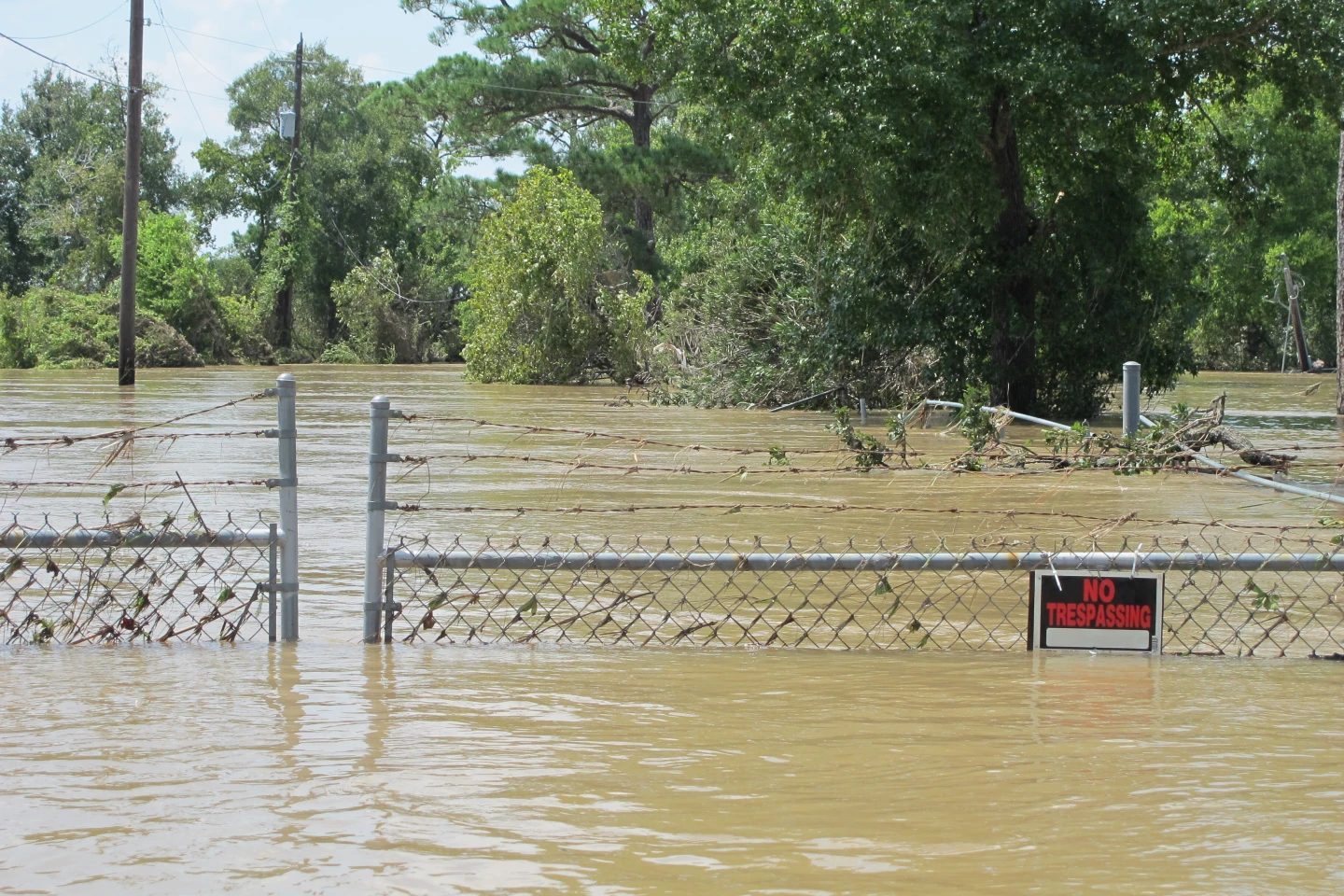
South Carolina Governor Henry McMaster declared a state of emergency on Friday evening in anticipation of the storm, enabling coordination between state, local and federal governments, and ensuring eligibility for federal aid. Emergency preparations in Charleston included assembling sandbags and checking high water vehicles to combat any flooding.
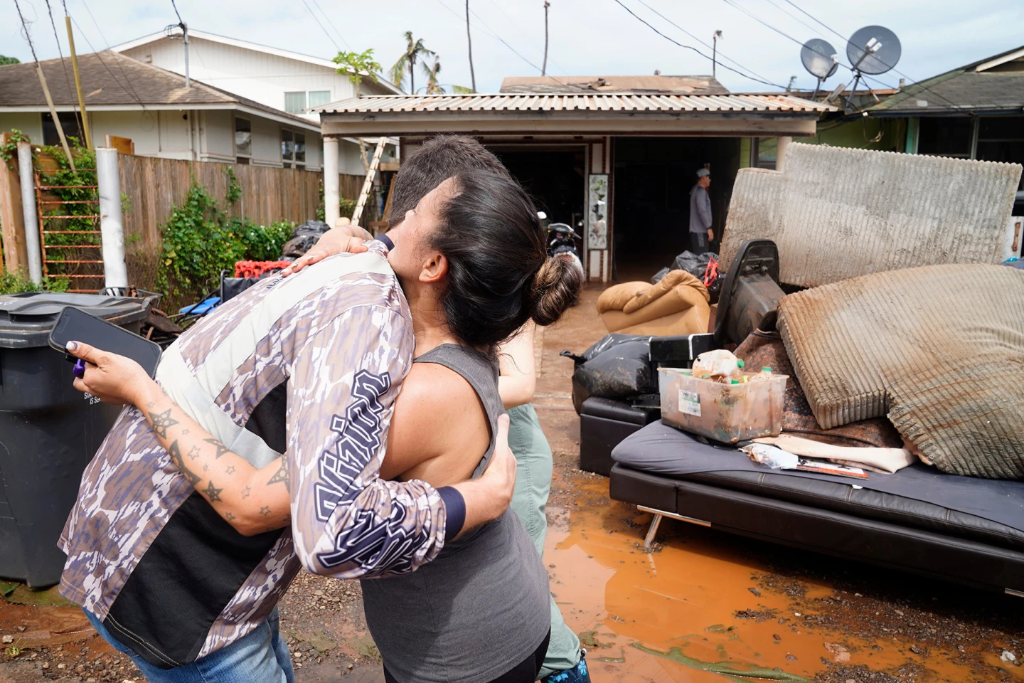
The tropical disturbance has already caused heavy rains in the Dominican Republic, leading to evacuations and a red alert in five provinces due to flooding of rivers and landslides. Civil defense authorities report that at least 774 people have been displaced and are currently being housed in shelters.
As Humberto and the approaching system develop, the Federal Emergency Management Agency has urged residents in coastal areas to remain vigilant. In the eastern Atlantic, Gabrielle has moved away from the Azores, with no longer any hurricane warnings in effect for Portugal. In the Pacific, Hurricane Narda is also generating concerns as it churns towards the Baja California region, promising hazardous conditions along its path.
Meanwhile, another weather system is likely to develop into a tropical storm, threatening the Bahamas and Cuba with heavy rainfall and flash flooding. Parts of the Bahamas are currently under a tropical storm warning. This system is expected to approach the Southeast U.S. early next week, with gradual strengthening anticipated by Sunday, turning into a hurricane by late Monday.
South Carolina Governor Henry McMaster declared a state of emergency on Friday evening in anticipation of the storm, enabling coordination between state, local and federal governments, and ensuring eligibility for federal aid. Emergency preparations in Charleston included assembling sandbags and checking high water vehicles to combat any flooding.
The tropical disturbance has already caused heavy rains in the Dominican Republic, leading to evacuations and a red alert in five provinces due to flooding of rivers and landslides. Civil defense authorities report that at least 774 people have been displaced and are currently being housed in shelters.
As Humberto and the approaching system develop, the Federal Emergency Management Agency has urged residents in coastal areas to remain vigilant. In the eastern Atlantic, Gabrielle has moved away from the Azores, with no longer any hurricane warnings in effect for Portugal. In the Pacific, Hurricane Narda is also generating concerns as it churns towards the Baja California region, promising hazardous conditions along its path.