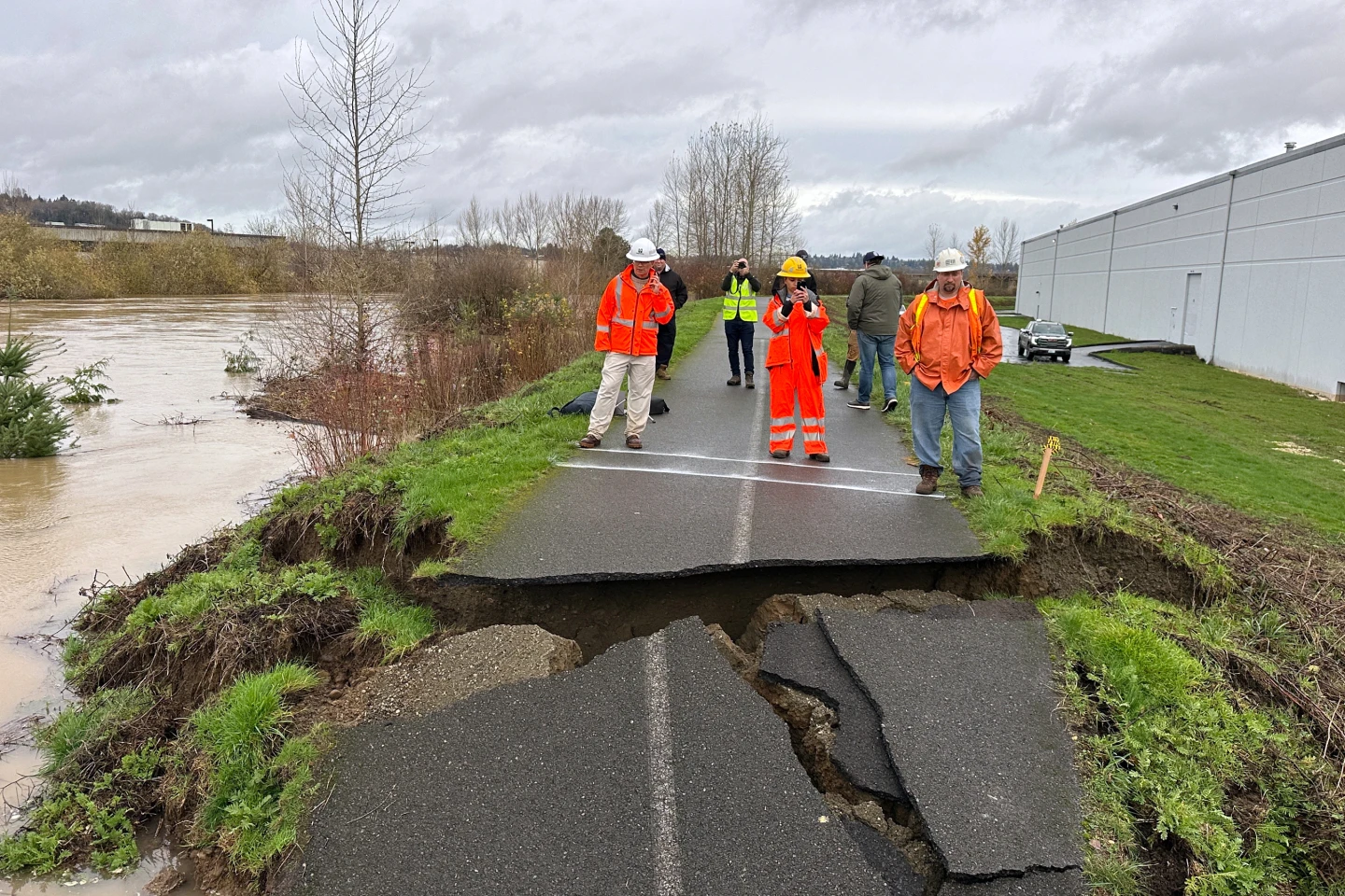
MIAMI (AP) — A weather system is expected to strengthen into Tropical Storm Imelda today, threatening the Southeast coast as it approaches South Carolina early next week, while also causing disruptions in the Bahamas. It is currently designated as Tropical Depression Nine, positioned about 100 miles west-southwest of the Central Bahamas with maximum sustained winds of 35 mph. South Carolina's Governor Henry McMaster has warned residents about the seriousness of the storm and the potential for heavy rain and flooding, stating, 'This storm is deadly serious.' Preparations to preposition search and rescue crews are underway.
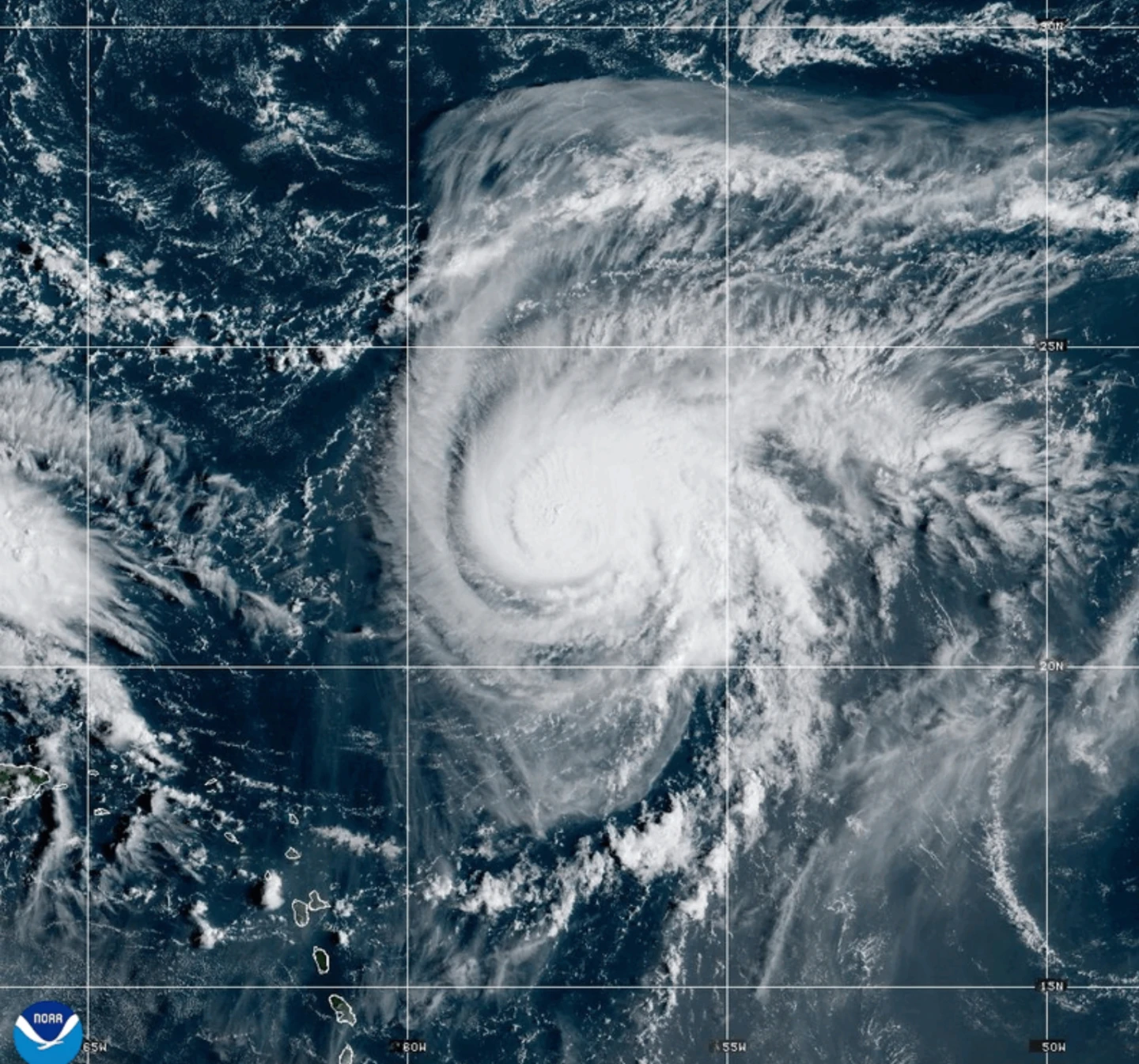
Meanwhile, Hurricane Humberto has weakened slightly but continues to be a dangerous Category 4 storm with winds of 155 mph, currently about 585 miles south of Bermuda. The National Hurricane Center suggests that tropical storm watches may be issued for Bermuda, with swells expected to affect the U.S. east coast. Residents in parts of Cuba and the Bahamas are advised to prepare for heavy rains and flooding that could bring property damage.
In the Pacific, Tropical Storm Narda, previously a hurricane, is producing swells affecting coastal Mexico and Baja California Sur, with potential life-threatening conditions in Southern California. As the weather unfolds, authorities are gearing up for possible evacuations and safety measures.