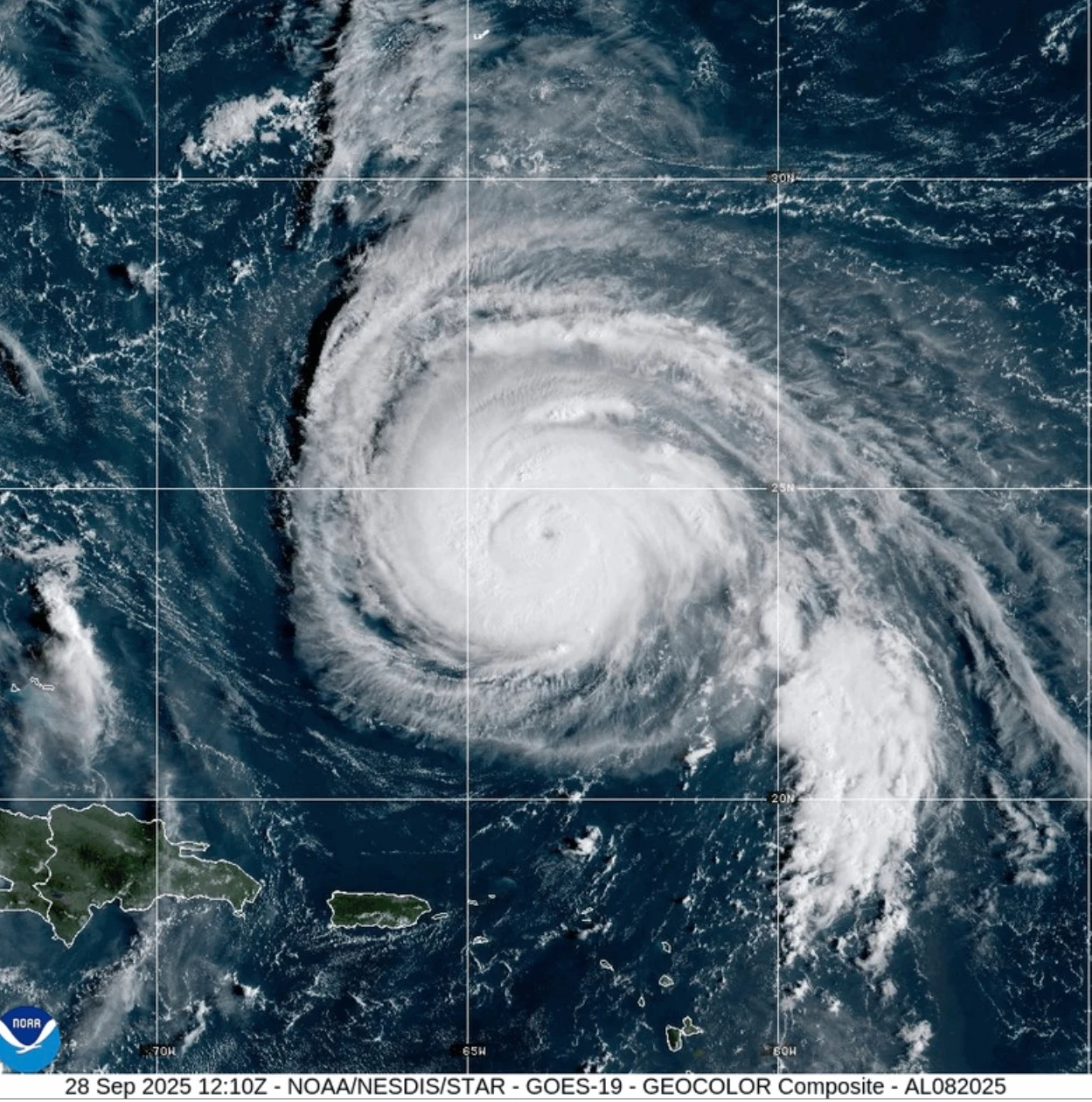
MIAMI (PulseWire) — A serious weather scenario is unfolding as Hurricane Humberto continues to churn in the Atlantic, while Tropical Storm Imelda is gaining strength near the Bahamas. Humberto, a Category 4 hurricane as of early Monday morning, is producing hazardous surf for Bermuda and the east coast of the United States. A Tropical Storm Watch has been issued for Bermuda as preparations ramp up for the potential impact of the storm.
Located approximately 400 miles south-southwest of Bermuda at 2 a.m. EDT, Humberto is moving northwest at 14 mph, maintaining maximum sustained winds of 140 mph. Though there may be fluctuations in its intensity, the storm is expected to remain a major hurricane for the coming days.
As Humberto looms, Tropical Storm Imelda, which formed on Sunday, is also raising concerns. At 2 a.m. EDT, it was situated about 130 miles northwest of the central Bahamas, moving north at 8 mph with winds reaching up to 45 mph. The storm threatens to unleash heavy rainfall across parts of Cuba and the Bahamas, with forecasts suggesting 6 to 12 inches of rain could batter the northwest and central Islands, prompting a storm warning across the area.
Authorities in the Bahamas have alerted residents in low-lying areas to take proactive measures against potential flooding, particularly as light but persistent rain has begun to inundate roads on New Providence Island.
Flights to and from affected areas have been canceled, and officials are working to pre-position search and rescue teams in places like South Carolina, where Governor Henry McMaster warns of additional risks of high winds and flooding. North Carolina’s Governor Josh Stein anticipates similar challenges, declaring a state of emergency before the storm system formed.
The dynamic situation requires ongoing monitoring and preparations, as communities brace for the potential impacts of both storms in the coming days.