Humanitarian organisations and journalists have expressed concerns after a leading satellite imagery company told its users it was restricting access to images of Iran and large parts of the Middle East following a request from the US government.
California-based Planet Labs initially introduced a 14-day delay on providing new imagery from the region in March. It has since moved to an indefinite restriction.
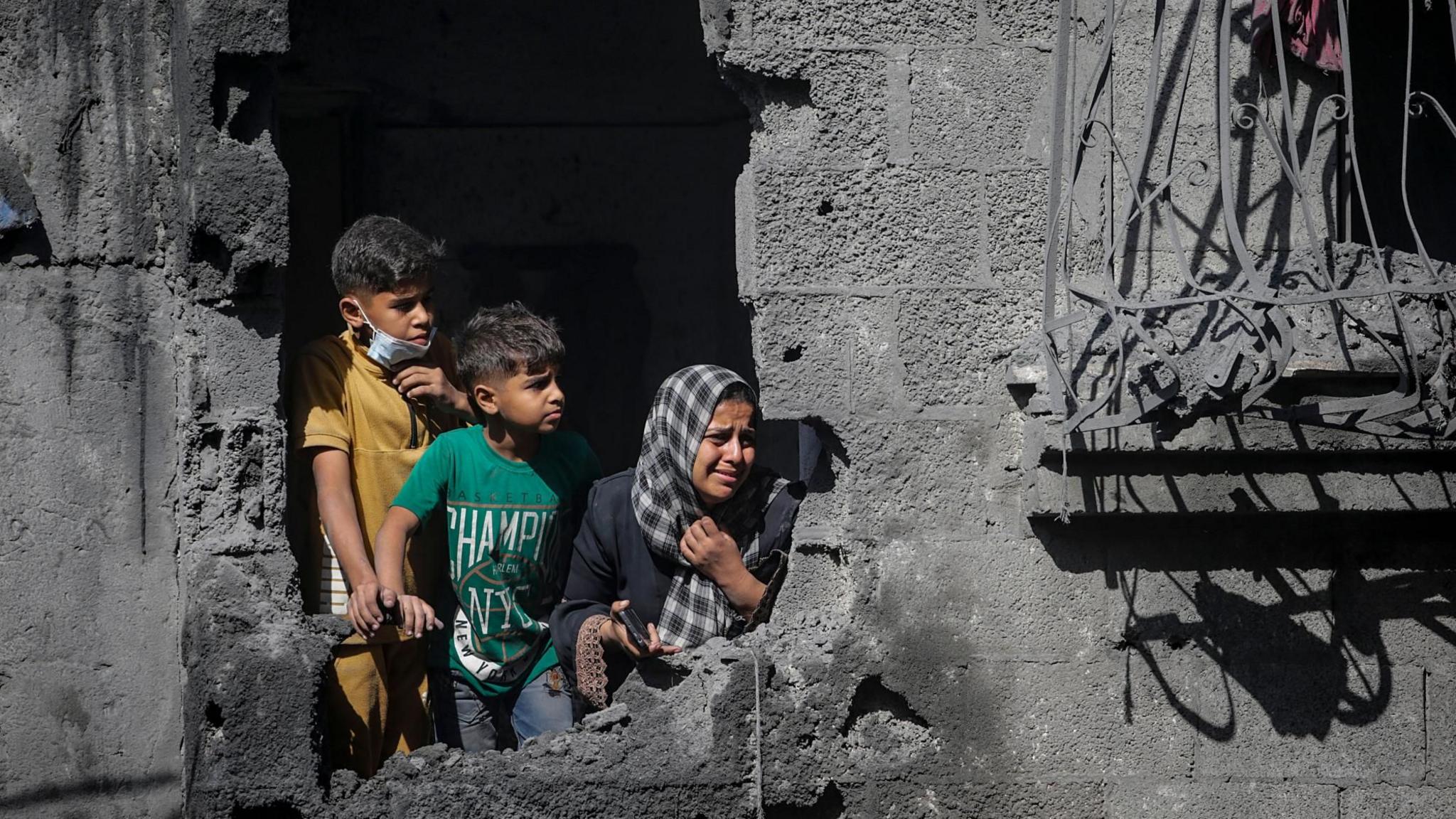
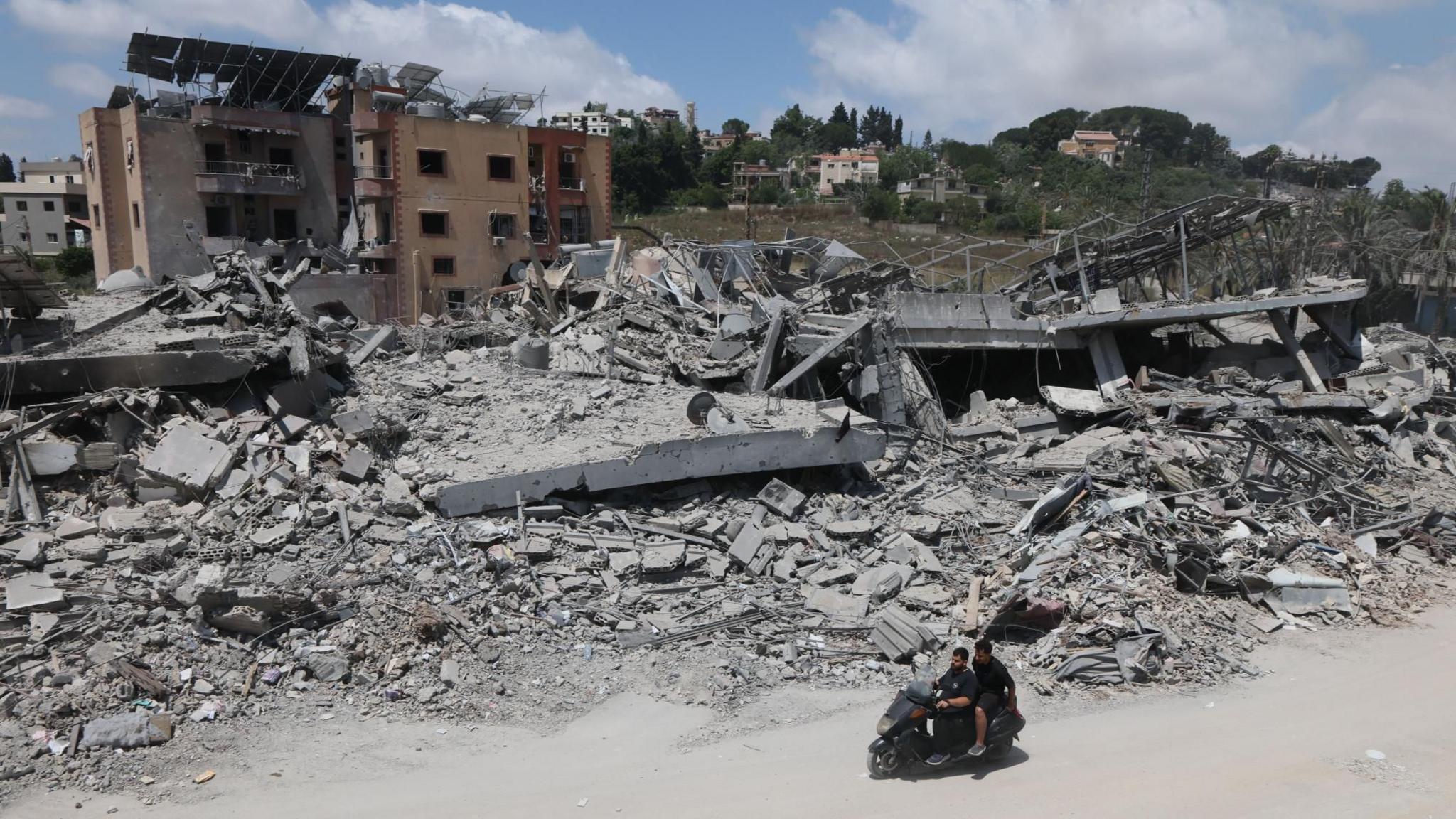
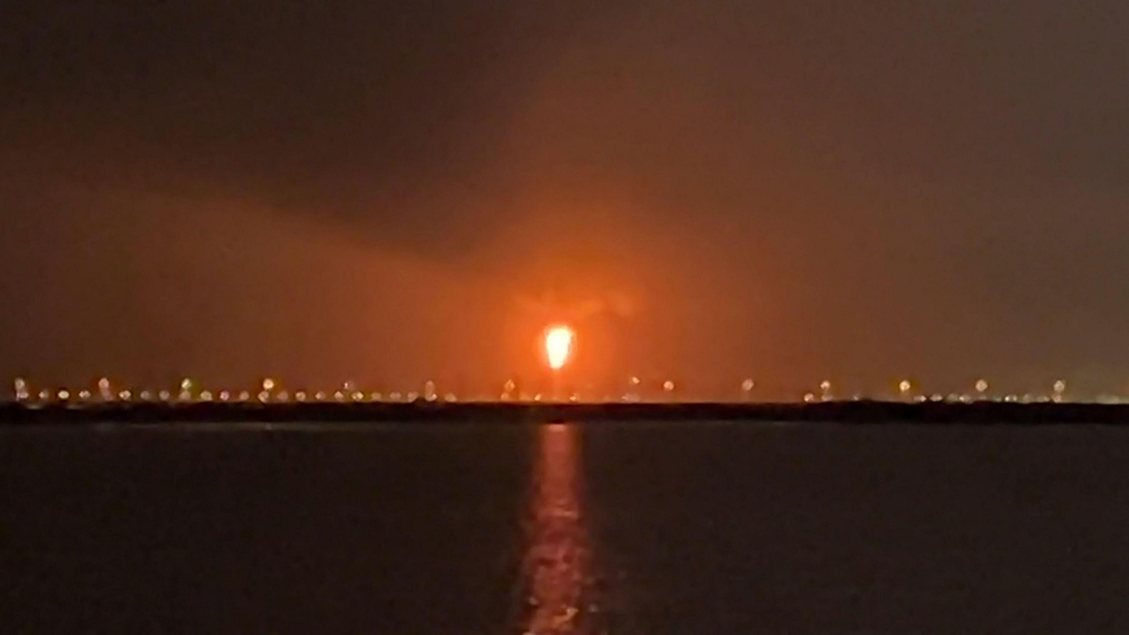
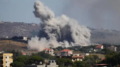
The decision has limited how journalists, humanitarian groups and analysts can use satellite images to assess the impact of the US-Israel war with Iran, including damage to military targets and civilian infrastructure.
It is unclear what prompted the US to press Planet to suspend its coverage and the Department of Defense did not respond to a request for comment.
Planet initially said its original 14-day delay policy was to ensure our imagery is not tactically leveraged by adversarial actors to target allied and Nato-partner personnel and civilians. It said in a statement to BBC Verify that it was now switching to a system of managed distribution and would share selected images on a one-off basis until the security risk has abated.
But despite the lack of clarity on restrictions, it appears to extend across most of the Middle East, including Iraq, Lebanon, Israel and Gaza.
One satellite imaging expert told BBC Verify that companies like Planet that have military contracts can sometimes implement voluntary compliance requests that are actually driven by commercial incentive structures.
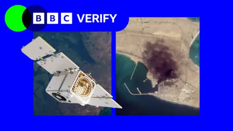
BBC Verify has used Planet imagery across the Middle East in its reporting, including since the war in Iran began at the end of February - such as when a US strike on a school in the Iranian town of Minab.
The changes now mean that images taken after 9 March are no longer routinely available to the company's clients.
Satellite imagery has become a key tool for reporters, especially for conflict zones, disasters and other restricted environments where reporters cannot safely access the scene or where information is tightly controlled, said investigative journalist Benjamin Strick.
Planet's business model is similar to others in the industry. It has been expanding its work with the US defence sector, including the US National Geospatial Intelligence Agency and - through a subsidiary - the US Navy.
Bill Greer, a geospatial analyst, noted that the number of defence contracts held by companies like Planet grants governments some degree of influence over them, leading to a thin line between voluntary and involuntary compliance.
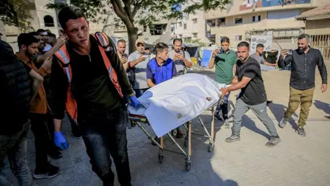
As humanitarian groups rely heavily on satellite images for planning and reporting, the restrictions directly affect their ability to assess damage, document human rights abuses, and deliver aid.
The charity Oxfam emphasized its reliance on satellite imagery for humanitarian logistics during live conflicts, particularly noting its importance in Gaza.
As commercial satellite surveillance continues to evolve, the implications for both transparency and privacy are significant. Todd Harrison, a senior fellow at the American Enterprise Institute, remarked that reliance on commercial firms for intelligence has shaped the landscape of conflict, requiring military operations to adapt.
The emergence of fake satellite imagery amid such restrictions has raised concerns, with calls for alternative solutions being voiced by news organizations relying on imagery for accurate reporting. Nevertheless, the quality of substitutes often falls short of what services like Planet offer, making the search for reliable imaging solutions increasingly critical.