In brief
A powerful "bomb cyclone" is poised to hit the Pacific Northwest, bringing severe weather and hazardous conditions, including heavy rainfall, snow, and strong winds, to over seven million residents.
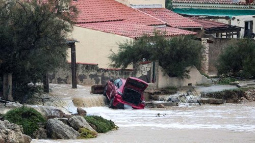
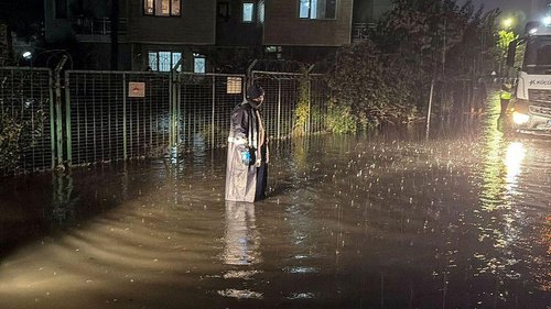
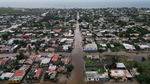
The storm, which started impacting the US Northwest on Tuesday, is projected to escalate throughout the week, according to the National Oceanic and Atmospheric Administration (NOAA). This significant weather event could lead to everything from flooding to blizzards, with possible flash floods, rock slides, and debris flows in affected regions.Forecasts indicate that strong winds have already been observed in areas like Seattle, with gusts potentially reaching 65 mph. With the system gaining strength due to rapidly dropping air pressure off the coast, mountain ranges can expect heavy, wet snow accumulation of 2-3 inches per hour. Up to 20 inches of snow might accumulate in certain spots, raising travel risks to dangerous levels.The National Weather Service has issued winter weather advisories along the Pacific coast, warning of numerous flash floods, hazardous travel conditions, power outages, and tree damage as the storm reaches its peak intensity. Northern California and southwest Oregon, in particular, are likely to experience the heaviest rainfall, increasing the risk of mudslides.A bomb cyclone is characterized by a rapid fall in pressure, defined by meteorologists as a minimum drop of 24 millibars within 24 hours. The term "bomb" reflects the storm's explosive nature, bringing a mix of severe weather patterns, from blizzards to thunderstorms. Weather experts indicate that while the Northwest is accustomed to intense winter weather, the combination of an atmospheric river event with a bomb cyclone can trigger particularly significant impacts.