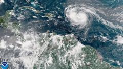
In a stunning development, Hurricane Erin has rapidly intensified, emerging as a catastrophic category five hurricane with sustained winds soaring to 160mph. This early-season storm in the 2025 Atlantic hurricane season, which began as a tropical storm on Friday, has drawn attention from meteorologists due to its explosive growth. National Hurricane Center Director Mike Brennan noted the storm's unexpected intensification, leading to potential hazardous conditions across the Caribbean and U.S. East Coast.
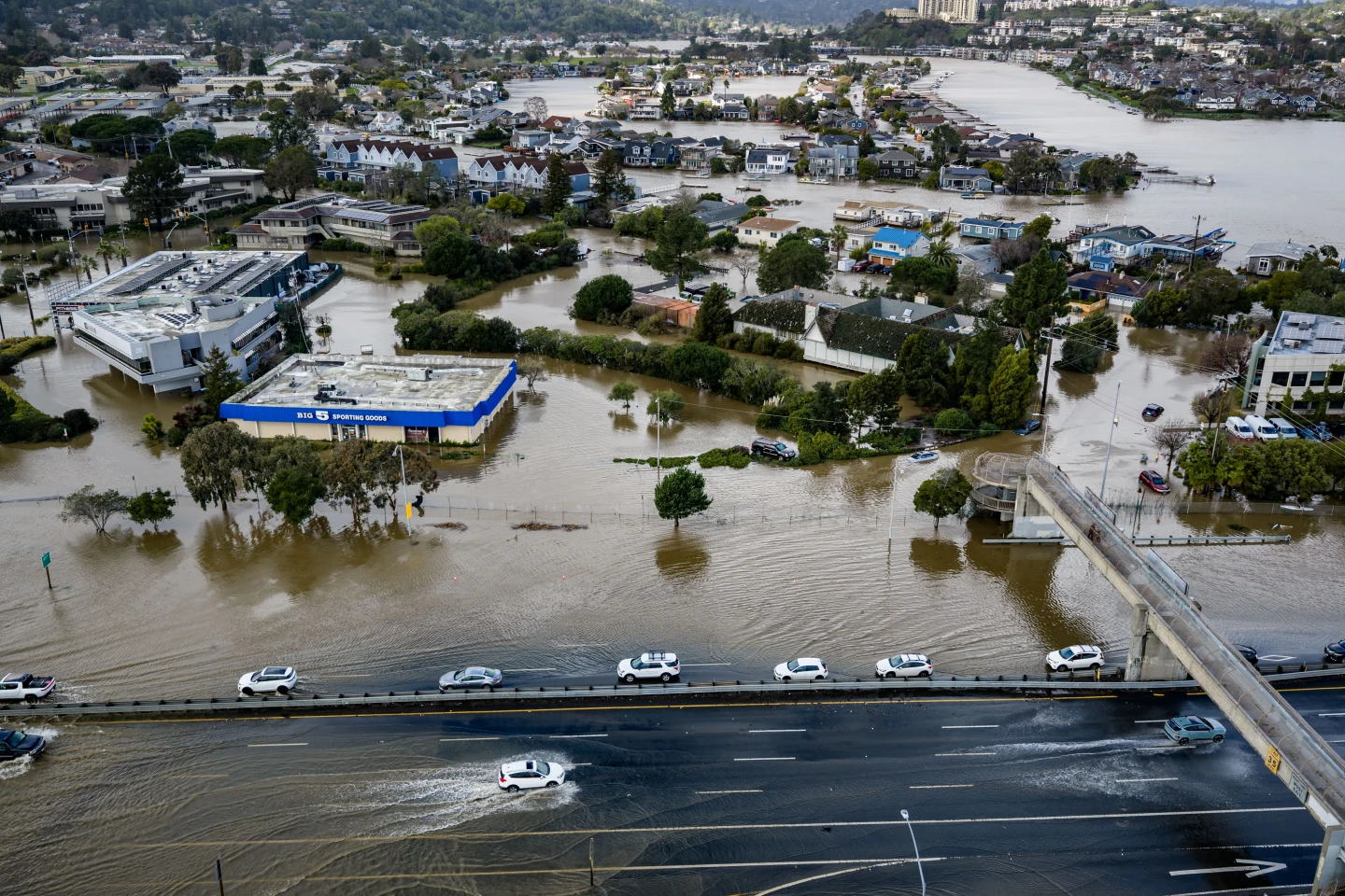
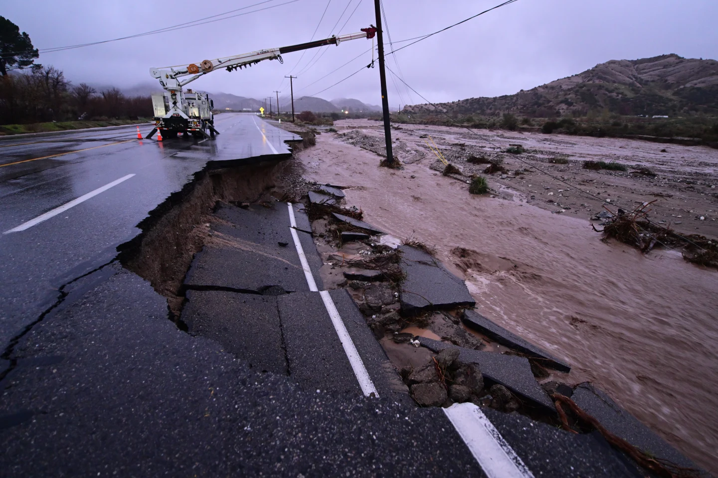
Erin is projected to skirt north of popular destinations including the Leeward Islands and Puerto Rico over the weekend, potentially bringing heavy rainfall of up to 6 inches (15cm), along with severe flash flooding and mudslide risks. Despite its intensity, the storm does not appear to be on a path to strike the U.S. mainland directly.
The storm underwent what meteorologists call 'rapid intensification,' a phenomenon where winds strengthen by at least 34mph within a 24-hour timeframe, with Erin's winds amplifying from 100mph early Saturday morning to a staggering 160mph.
Looking ahead, predictions indicate that Erin will continue its northward trajectory past the eastern Bahamas and toward the Outer Banks of North Carolina throughout next week. Coastal erosion and dangerous rip currents are anticipated to affect nearly the entire U.S. East Coast, with Florida and mid-Atlantic states expected to experience perilous surf conditions.
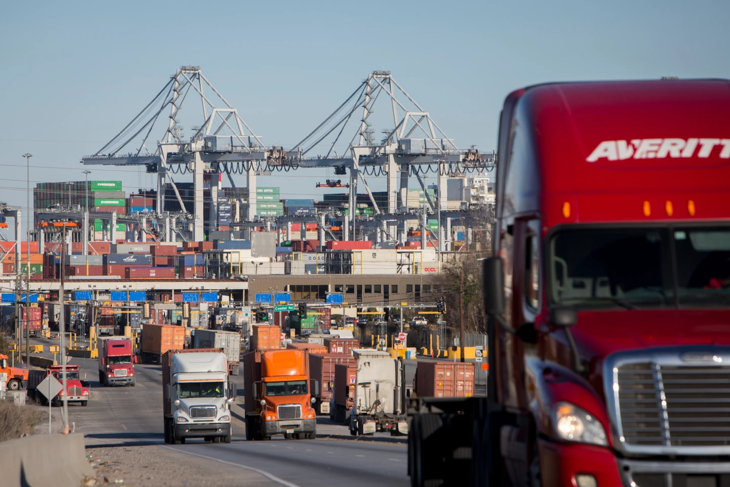
The US Coast Guard has already begun implementing restrictions for maritime vessels at ports in St. Thomas and St. John within the U.S. Virgin Islands, alongside several municipalities in Puerto Rico, including the capital, San Juan. Predictions from the National Oceanic and Atmospheric Administration (NOAA) suggest that the 2025 Atlantic hurricane season could yield an above-normal level of activity, with an increased likelihood of category four and five storms attributed to global warming.


