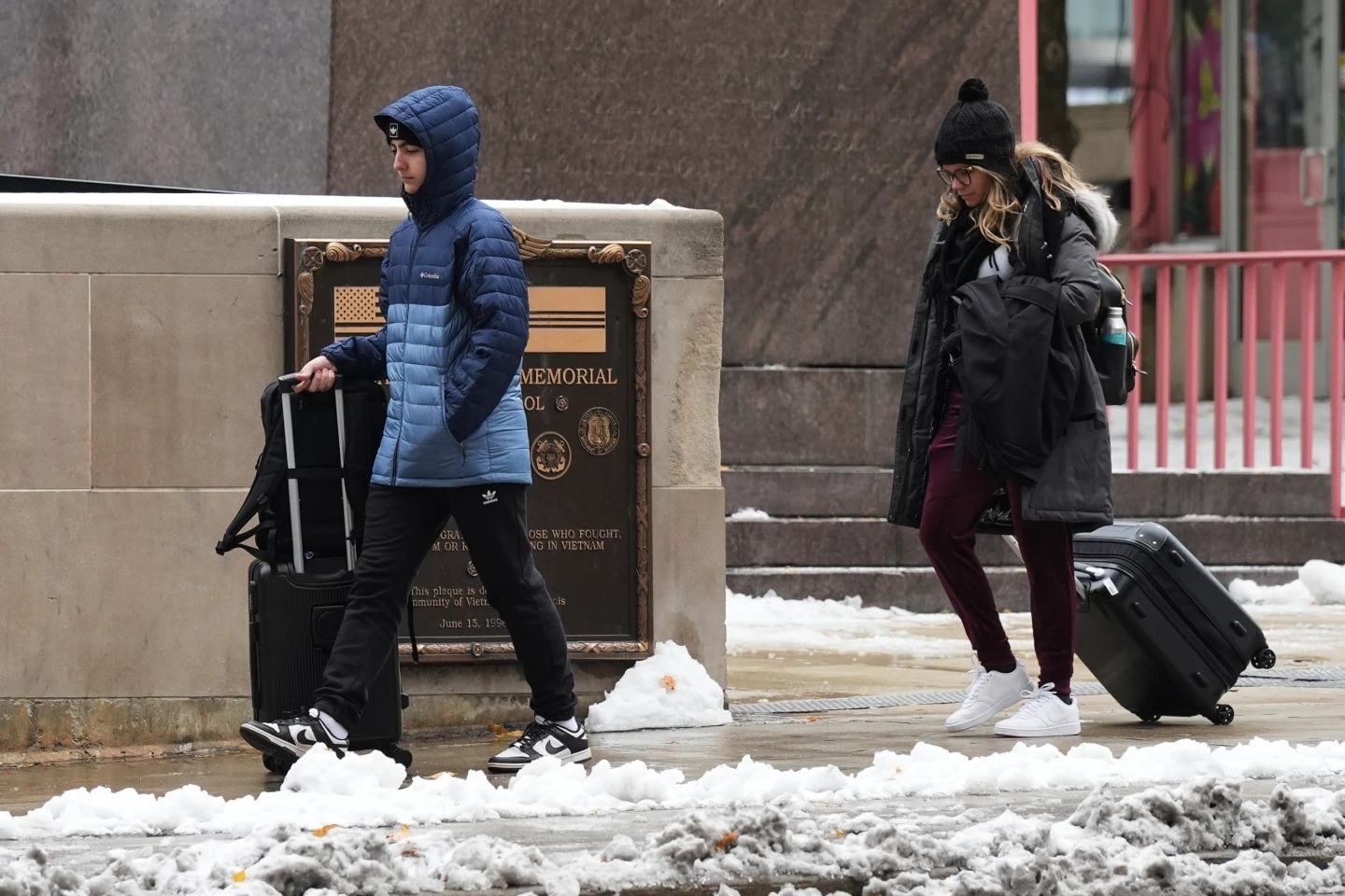
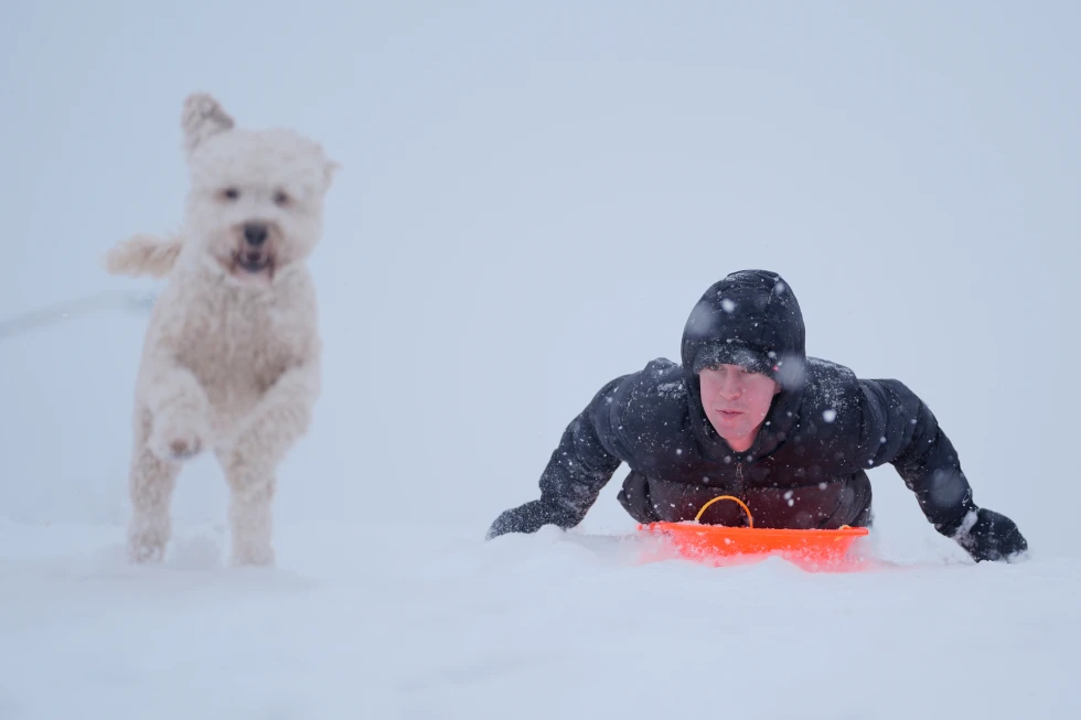
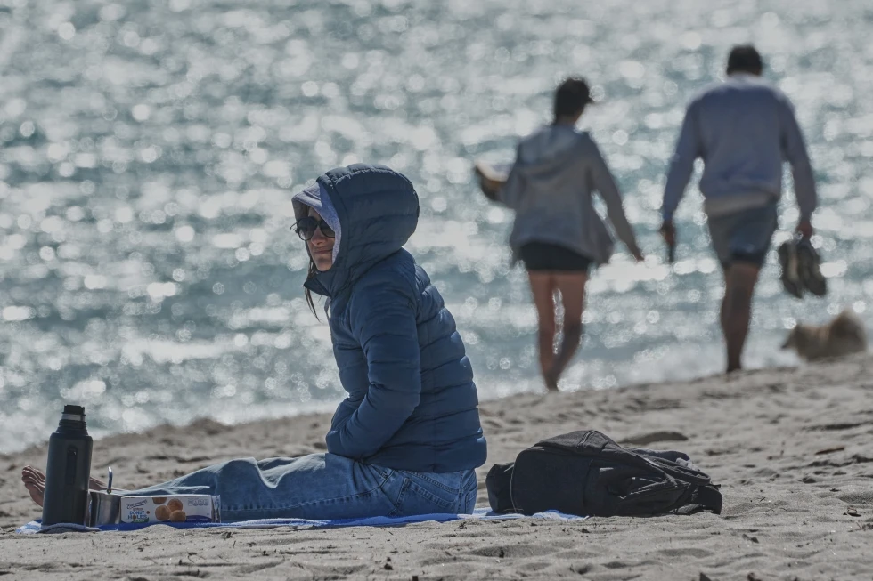
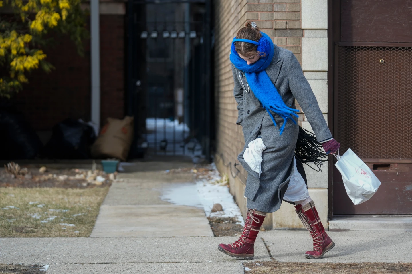
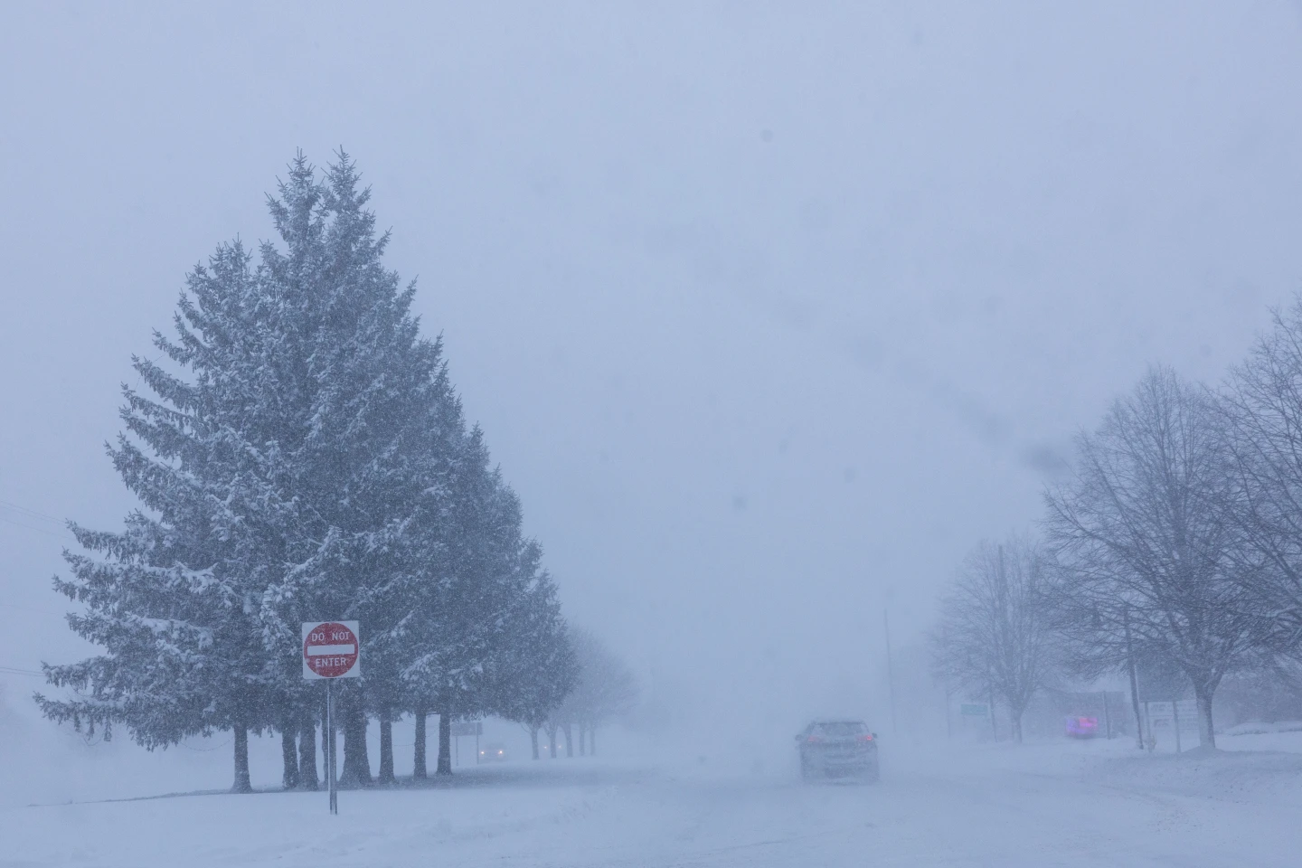
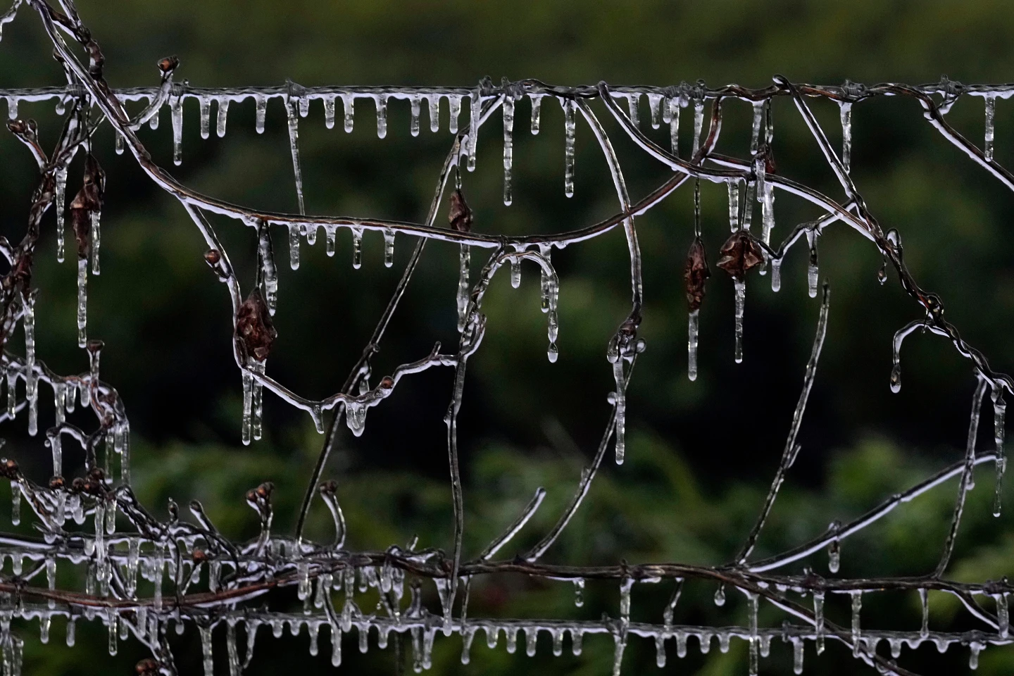
The first major cold spell of the season plunged parts of the southeastern U.S. into record-low temperatures Tuesday, delivering a shock for 18 million people under a freeze warning across Alabama, Florida, and Georgia. Meanwhile, several inches of snow blanketed areas along the eastern Great Lakes as the blast of cold air moved through.
The direct shot of Arctic air impacting the eastern two-thirds of the country migrated east from the Northern Plains, which was hit with gusty chills and snow over the weekend. For much of the Southeast on Tuesday, this meant a sudden transition into wintry temperatures after previously reaching above 70°F (21°C).
Some daily records were 'absolutely shattered,' according to meteorologist Scott Kleebauer, including a low of 28°F (-2°C) at the Jacksonville, Florida airport, breaking the previous record of 35°F set in 1977. The southeast will experience a few more colder-than-normal days before warmer weather returns later in the week.
Florida Faces a 'Falling Iguana Advisory'
Iguanas begin to 'freeze' and fall from trees when temperatures drop below 40°F (4°C), according to Kleebauer. These conditions were experienced widely across Florida on Tuesday. 'Iguanas, because of their reptilian nature, go into survival mode. Their system basically shuts down,' said Kleebauer.
Social media posts captured images of the stunned reptiles as Floridians adjusted to the uncharacteristically cold weather. Visitors to Orlando’s theme parks found themselves bundled up as temperatures neared freezing. Even in Fort Lauderdale and Miami, early-morning temperatures dipped into the upper 40s.
Agricultural officials remained cautious, stating that they hadn’t noticed significant issues due to the cold front but were closely monitoring the situation as another night of cold approached.
Significant Snowfall in Great Lakes Region
The cold air over the relatively warmer waters of the Great Lakes created ripe conditions for snowfall in various communities across New York and Pennsylvania. The expected lake-effect snow would bring additional accumulation, with communities downwind of Lake Erie and Lake Ontario facing winter weather advisories.
The highest totals, forecasted at around 6 to 9 inches (15 to 23 cm), were expected in western New York’s Tug Hill Plateau. Meanwhile, Vermont reported adverse travel conditions due to heavy snowfall, resulting in a tractor-trailer incident that partially blocked Interstate 89.
California’s Weather Shifts
On the West Coast, an atmospheric river is anticipated to bring significant rainfall and mountain snow to California early this week. A plume of tropical moisture will start affecting the San Francisco Bay Area, moving southward with up to a foot of snow predicted for sections of the Sierra Nevada. However, forecasters warned that the heavy rainfall could lead to mudslides in areas affected by recent wildfires.

