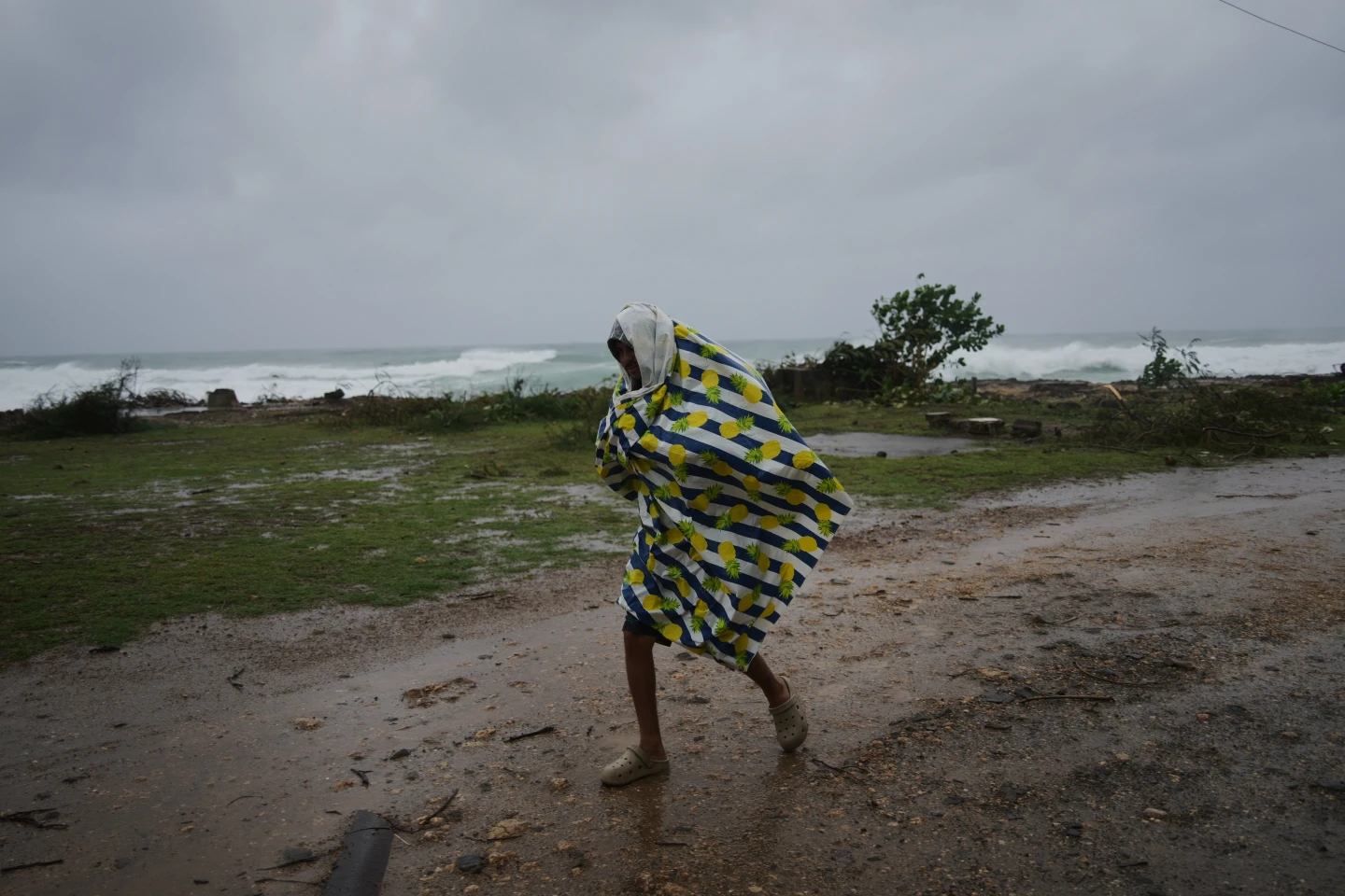
MIAMI (AP) — Hurricane Gabrielle is barreling towards the Azores islands, expected to unleash heavy rainfall, fierce winds, and a storm surge from Thursday night through early Friday, according to forecasters.
The Miami-based National Hurricane Center has issued a hurricane warning for the entire volcanic archipelago, emphasizing that residents need to expedite their storm preparations as perilous conditions are on the way.
On Thursday afternoon, Gabrielle was located approximately 455 miles (730 kilometers) west of the Azores, boasting maximum sustained winds of 75 mph (120 kph) and moving eastward at 32 mph (52 kph).
Swells from the storm are predicted to generate life-threatening surf and rip currents, impacting the Azores later in the day. The storm's waves are consequently expected to affect Bermuda and parts of the northeastern U.S. coastline, including Atlantic Canada.
As Gabrielle reaches the Azores, it will maintain hurricane strength but is expected to weaken over the weekend. Forecasters caution that hurricane-force wind gusts will likely persist even after the storm center has passed over the islands.
Forecasts predict that rainfall may accumulate to 5 inches (13 centimeters) across central areas of the Azores, heightening the risk of flash floods in mountainous regions. Meanwhile, the eastern and western parts of the islands could see up to 3 inches (8 centimeters) of rain.
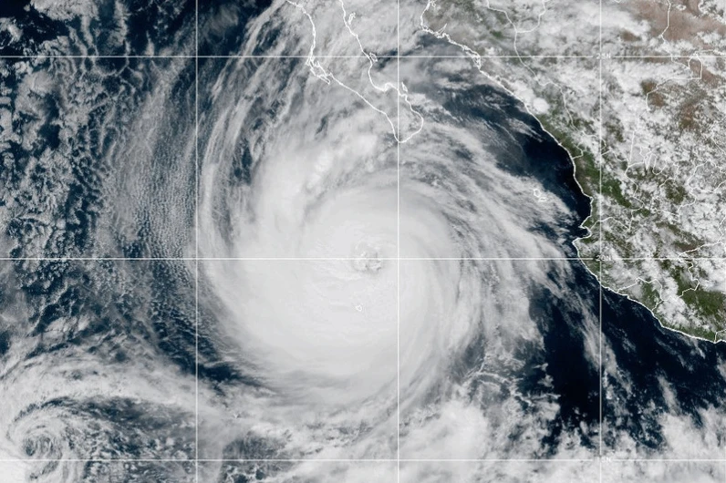
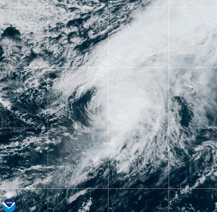
In other related weather news, Tropical Storm Humberto has formed near the Caribbean and is expecting to strengthen into a hurricane, while Hurricane Narda is reported to be moving away from Mexico with potential to restrengthen.