Typhoon Wipha ravaged the Chinese territories of Hong Kong and Macau on Sunday, unleashing torrential rain and powerful winds just ahead of an expected landfall in mainland China. With sustained winds reaching approximately 106 miles per hour, the storm mirrored the strength of a Category 2 Atlantic hurricane.
As Wipha skirted the southern perimeter of Hong Kong, weather experts from the Hong Kong Observatory issued a No. 10 hurricane signal, marking the highest warning level for the first time since 2023. This signal was paralleled by an equivalent warning in Macau. Authorities advised residents to stay indoors and secure their windows, given the imminent threat of debris and hazardous conditions.
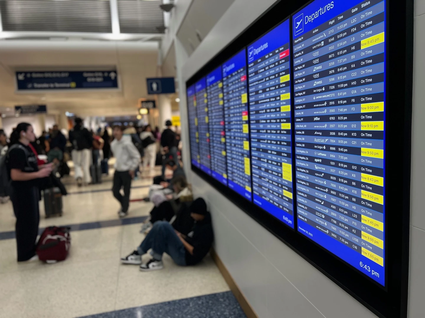
Hong Kong International Airport faced major disruptions, with over 400 flights rescheduled due to the storm's proximity. In a similar reaction, nearly 200 flights were canceled at Macau International Airport. In addition to aviation challenges, cities in southern China took precautionary measures—closing workplaces, ports, and instituting train suspensions in anticipation of the typhoon.
Zhuhai, home to around 2.5 million residents and situated along Wipha's forecast trajectory, enforced closures of construction sites, parks, ferries, and outdoor recreational areas. Schools and numerous businesses also shuttered in Zhanjiang as a precaution.
Forecast models suggest that after its landfall, Wipha will continue moving across southern China before veering back offshore and potentially making landfall in Vietnam. Authorities in affected regions continue to monitor the situation closely, urging caution among residents as the storm’s developments unfold.
This story is evolving with more updates to come.